
Safeguarding Heritage from Above: The Invaluable Role of Satellites against Tomb Raiders
Among the many things Italy is famous for worldwide, its cultural and artistic heritage holds a prominent place. Our country boasts 58 UNESCO-recognized sites, reaffirming its global leadership in historical heritage. But what are the connections between satellites, archaeological parks, and the Colosseum? Today, I will tell you about two innovative applications that use satellite technology to preserve and monitor Italian archaeological sites.
Guardians of the Past: How satellites combat tomb raiders
Recently, an article published in Focus highlighted the growing concern regarding thefts of objects and goods from archaeological areas. Tomb riders, skilled in looting and selling archaeological artifacts on the black market, constantly threaten those who strive to preserve historical heritage for future generations. Fortunately, satellites now provide an unprecedented intelligence tool to counteract this criminal activity.
No alt text provided for this image
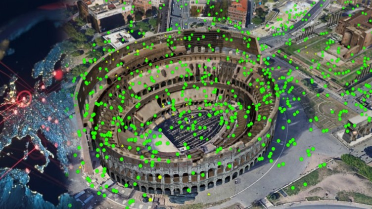
Thanks to high-resolution satellites capable of capturing detailed images with a resolution of 30 centimeters per pixel, it is possible to identify illicit excavations by Tomb riders, reconstruct the dynamics of their movements, and track stolen artifacts. This valuable information enables competent authorities to take timely and targeted actions to counter the illicit trade of archaeological artifacts.
Millennial movements: Monitoring archaeological sites through satellites
In addition to the fight against tomb raiders, satellites offer an incredible ability to monitor millimeter-scale trends of the Earth’s surface. This technology proves particularly useful in monitoring archaeological sites and assessing the stability of ancient structures over time.
A significant example of this application concerns monitoring Nuraghi, ancient stone constructions with a conical shape that dot the landscape throughout Sardinia. The preservation of these monuments, recognized as UNESCO heritage, plays a fundamental role in preserving our history and identity; satellites take center stage in this context.
No alt text provided for this image
Through the NuraghEO project, promoted by CRS4 within the OCRE program for developing services related to the Copernicus platform, specific monitoring for the Nuraghi in Sardinia has been initiated using the Rheticus® service.
The Rheticus® Displacement geoinformation service offers a historic analysis with monthly updates for monitoring millimetric displacements of the ground surface, revealing landslide trends and subsiding areas making risk the stability of the infra-structures. The service also provides information on anthropic changes and infra-structural dynamics over the area where the infrastructure is established. The mapping activity was made through the monitoring of points on the ground with high stability called Persistent Scatterers (PS). The PS is produced through the processing of the Sentinel1 images form the Copernicus program.
Read on: Join “Earth from Space” newsletter on LinkedIn