Earth observation: best practices from Google Maps

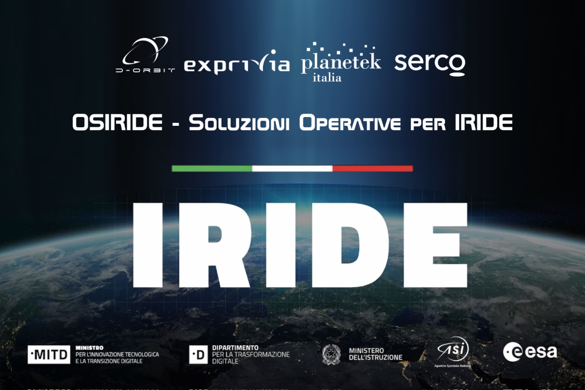
A few days ago, the big announcement of IRIDE, the Italian satellite constellation for Earth observation realized with the participation of the Agenzia Spaziale Italiana and European Space Agency – ESA.
I got several comments on how this new space mission will contribute to solving problems here on Earth. This assertion sometimes assumes that the two issues are separate from each other while, in fact, they proceed in parallel.
Moreover, thanks to the primary focus of the Earth observation missions so far, there has been an increase in the number, the resolution, and the image acquisition frequency, although insiders know that a lot still needs to be done for a large adoption of EO-derived solutions in all the public and private entities.
But let us take one step at a time.
Bridging the gap between Earth observation and end-users, Planetek Italia‘s first mission has always been to “simplify the complexity of space” and deliver actionable knowledge to the end user, especially through standardized services.
From data to a decision: the point of view of the end user
I always like to use the example of google maps. What brings Google Maps to life is data. Millions of data are processed simultaneously. But the user interface has an incredible look and feel. When we decide to go from point A to point B and ask Google maps, the answer we get is the best route to take. From data to decision, from the point of view of the end user. The success of this application lies in simplifying the data and focusing the user on the answers, not on the mechanism.
The same happens with Earth observation data, which can provide turnkey solutions.
Rheticus: satellite-derived intelligence for decision-makers
Formally starting in 1994, 4 years before Google, Planetek Italia envisioned the value of geo-analytics for enabling large adoption of the EO-derived solutions. In particular, the long-lasting experience with the C-level and the operational team from different sectors allowed us to design the intuitive Rheticus vertical solutions, 100% focused on the daily decision-making challenges.
Rheticus platform facilitates the adoption and use of geospatial data to understand the world better and answer questions such as:
- Which part of my infrastructure should we inspect first?
- Which building needs preventive maintenance next month?
- Is there any new illegal dumping waste this week?
- How did the wildfire develop in my forest?
- When is the best time to harvest mussels?
- In which area is hydrogeological instability present?
Read on: Join “Earth from Space” newsletter on LinkedIn